

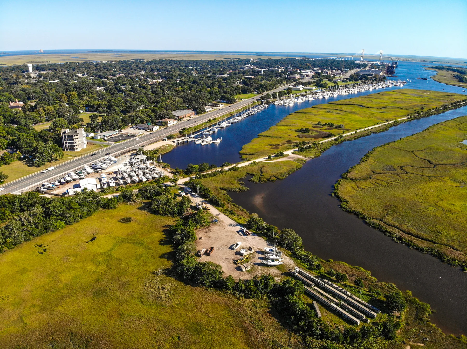
Brunswick's maritime tradition has long described its inner harbor as a hurricane hole. The geography is easy to see from above: Brunswick Landing Marina lies inland on Academy Creek, with land and marsh surrounding the marina on three sides. The historical record adds something more specific—documented accounts of USS Passaic and USS Cone on Brunswick's waterfront during hurricane-related events, plus Passaic's earlier Academy Creek mooring.
A Navy-owned monitor was caught in a hurricane at Brunswick and saved through emergency anchoring.
A contemporary newspaper identified Academy Creek as Passaic's old mooring place.
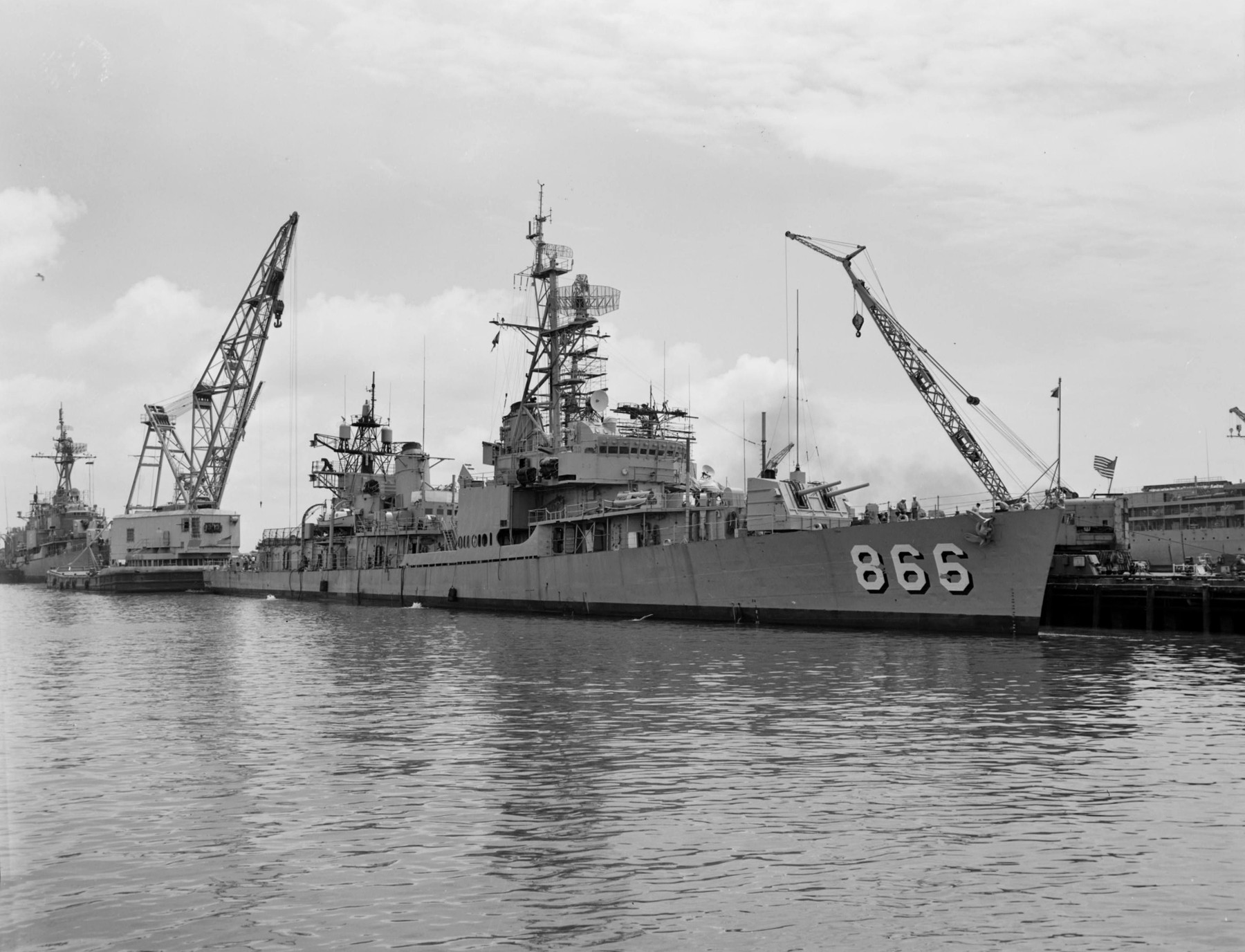
A Navy destroyer entered Brunswick's East River while evading Hurricane Betsy.
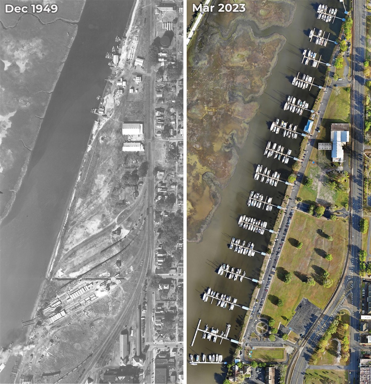
Land on three sides and the southern wave attenuator help shelter the present marina basin.
The 1896 hurricane
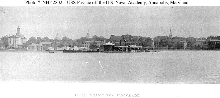
USS Passaic and Academy Creek.
USS Passaic was a U.S. Navy monitor on loan to the Georgia Naval Militia when a powerful hurricane struck Brunswick in October 1896. A contemporary newspaper reported that the vessel tore away from its Brunswick moorings and that Navy personnel used emergency anchoring to keep her from being lost.
The following year, another contemporary report announced that Passaic had been moved back to her old mooring place at Academy Creek. Read together, the accounts connect a Navy-owned vessel, a Brunswick hurricane and the Academy Creek waterfront where Brunswick Landing Marina is now located.
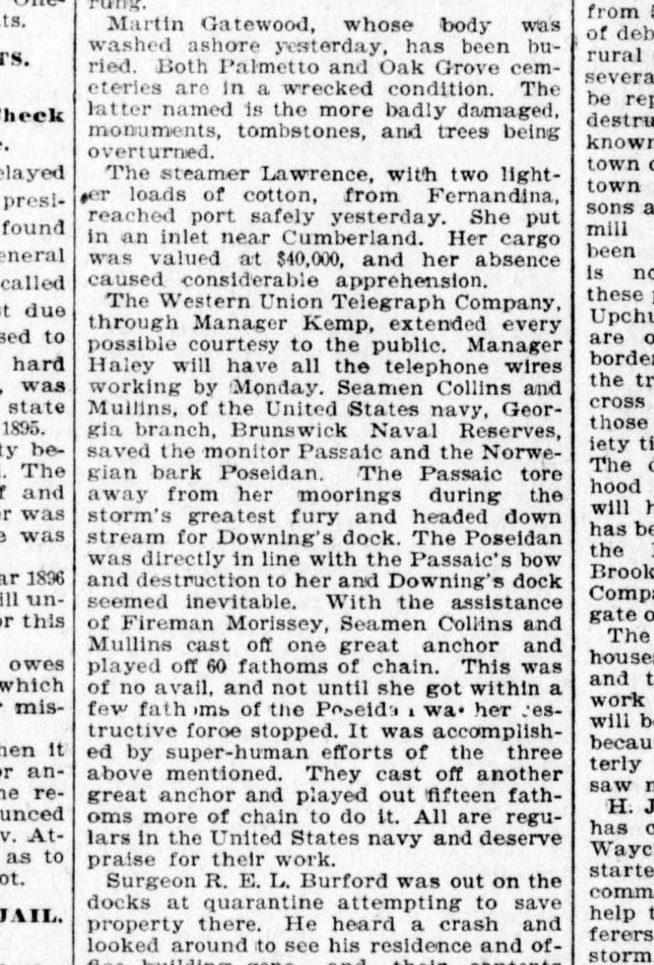
Read the 1896 newspaper accountSee the 1897 Academy Creek reportExplore the official ship history
Hurricane Betsy · 1956
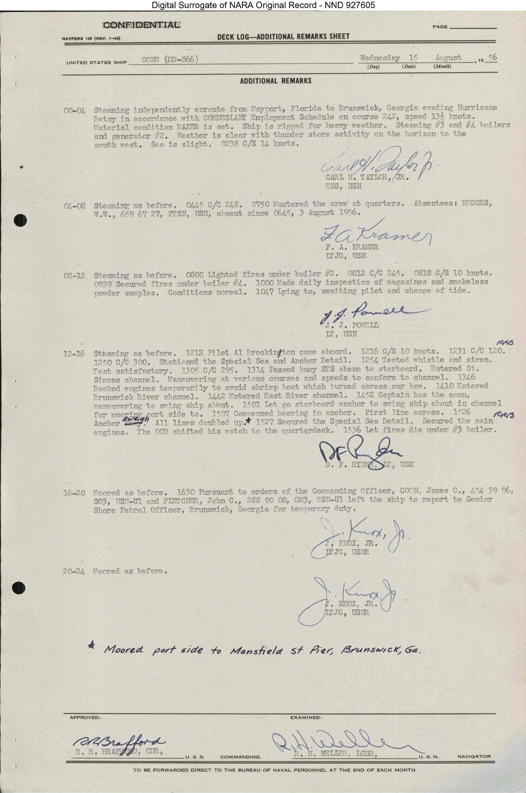
USS Cone enters Brunswick while evading the storm.
On August 9, 1956, the destroyer USS Cone departed Mayport, Florida, as Hurricane Betsy threatened the coast. Her official deck log records the ship steaming toward Brunswick while evading the hurricane and preparing for heavy weather. Brunswick was also already on the ship's employment schedule, so the record shows the scheduled call and hurricane-evasion operation occurring together rather than establishing the storm as the sole reason for the visit.
The log then traces Cone through St. Simons Channel, the Brunswick River Channel and the East River Channel before she moored on Brunswick's downtown waterfront. The ship did not tie up at the present marina docks; the record documents the broader inner-harbor area being used by the Navy during hurricane-evasion operations.
A harbor considered for refuge and repair
Federal records recognized Brunswick's natural advantages.
The documented story reaches beyond individual vessels. In 1833, Georgia commissioners described Brunswick Harbor as landlocked and generally sheltered, while recognizing that the most violent storms could exceed any harbor's protection.
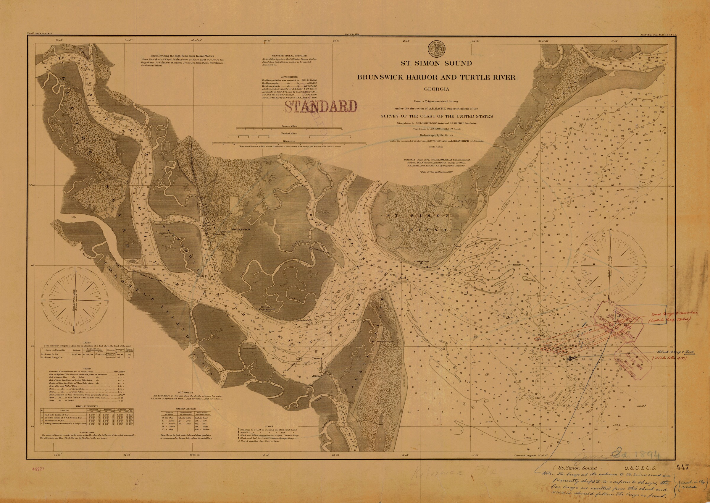
In 1856, the U.S. House Committee on Naval Affairs evaluated Brunswick as a possible southern naval station and a place of refuge and repair for vessels in distress. The committee described the harbor as accessible, secure, capacious and defensible. Its proposed facility was on Blythe Island, but the report shows the broader harbor's value was being considered at the federal level well before the modern marina existed.
A 1913 U.S. Coast Pilot added a practical navigation detail: small vessels could anchor in the East River near the mouth of Academy Creek. Together, the records build a consistent picture of a protected working harbor used and evaluated by mariners over generations.
The protected setting today
Geography first. Infrastructure added.
The marina remains sheltered by land on three sides. Along its southern exposure, a heavy-duty floating concrete dock also serves as a wave attenuator. Reinforced concrete piles and floating docks are designed to accommodate changing water levels and ordinary marina conditions.
The history and the infrastructure explain why generations of boaters have valued this harbor. They do not eliminate the need to prepare. Storm tracks, wind, surge, flooding, debris and neighboring vessels can create different risks during every event, so owners should act early and follow current marina procedures and official guidance.
Explore docks and dockageBuild a hurricane planReview hurricane haulout and storage
Read the record
Primary and government sources.
The links below lead to the archival records, historic newspapers and government materials used to document the harbor's Navy hurricane and protected-harbor history.
A waterfront story with a paper trail.
Brunswick Landing Marina's hurricane-hole history has long been part of the harbor's local maritime story. The surviving documents now let visitors follow that history through named ships, dated records and the same Academy Creek and East River waterways that surround the marina today.